When Sunday came, it was a little drizzly and the forecast wasn't the best, but we decided to bite the bullet and head off anyway.
We parked the car at the exact spot we ended last week, leaving the second car behind The Sands Centre in Carlisle where we planned to end our walk. It was still raining so waterproofs were needed. Off we set.

We still had a length of the Marshes to walk left from last week, but eventually we passed the cattle-grid and started to walk towards the Village of Burgh-By-Sands. (Burgh is spoken as 'Bruff')

Burgh-By-Sands is a pretty little Village with a pub, which unfortunately was shut.


Beside the Pub is a Village Green and at the side of that is a statue for King Edward I, who died in the Village in 1307 while leading a champaign against Robert The Bruce. His body is laid in the local churchyard.

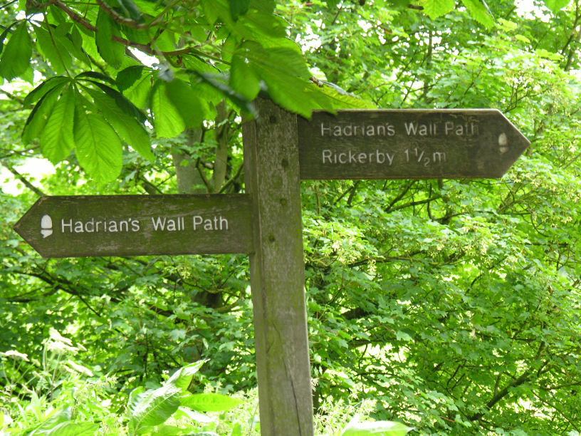
We left Burgh and set off across fields and along country lanes, following the line of Hadrians Wall.
Dotty Dog got a bit damp trailing through the long wet grass. But eventually the sun came out and the coats came off.

The next Village was Beaumont, another picturesque little Village, with a church. We spotted a "Snack Box" with an honesty payment scheme - how lovely!

As it was lunch time we were going to have a picnic under this tree, but when we got there it was swarming with midges, so on we went to Beaumont Community Centre where there are picnic benches.

Lunch today was Quorn ham & Salad Sarnies, banana and crisps :)

Dotty Dog shared Lezley & Ian's lunch, bacon was obviously a much better choice than Quorn!!

We left Beaumont and made our way down a very very muddy country path, we were slipping and sliding all over the place, luckily we all stayed upright.

We ended up down by the River Eden and followed it to a little Hamlet called Grinsdale, passing over a cute little bridge called Sourmilk Bridge, through a field with an electric fence, and past some cows to walk through a farm before getting to the Hamlet.


From there, it was over more fields which lay parallel with the River Eden, which we then followed back to Carlisle. On route we passed the contruction site for the new Bypass. At the moment, any traffic coming from the West of Cumbria (Whitehaven, Workington etc..) and heading to Scotland or the M6, have to pass through Carlisle City Centre. This bypass will cut off that route, taking traffic from the West of the City directly to the Junction 44 of the M6 which is the Junction for Scotland.
The arch under the bridge has been put in place for Wall Walkers, but this time we had to walk around and over the construction site.


Leaving that we could finally see houses in Carlisle, we were now on the outskirts of the City and entering the last leg of todays walk.

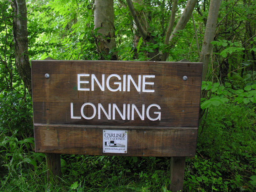
We walked along Engine Lonning, which is a nice riverside walk along the River Eden leading past the old Power Station and heading towards the Sheepmount Athletics Stadium.


The menfolk had a little swing on the way :)

When we reached the Sheepmount we got our Passports stamped, this was supposed to be at The Sands Centre which is just down the path, but the sign for passports said differently so we popped in.


We got our stamps and set of for The Sands, walking through Bitts Park, which is a beautiful City Park, full of lovely trees and plants. It is on the edge of Carlisle Castle's grounds.


Just a few steps from the Castle is a 1960's building called the Civic Centre, this is the only multi-story style building we have in Carlisle, and no one seems very fond of it :)

Before going under the underpass to get to The Sands, there is a plaque to remember the flood level from the Carlisle floods in 2005. I remember it well, a lot of people I know were affected, the damage was immense.


The plaque sits about 4 foot off the ground, but the river is actually a lot lower. In this next photo on the right, down the bank, is the normal river height, on the left you will see the railing for the steps where the plaque is.

Walking through the tunnel we finally reach The Sands Centre and passed the new sculpture featuring Hadrian s Wall. Each block of stone represents a Roman Fort which used to lay along the Wall. Where we are now viewing this sculpture, is 4 stones from the left.

Then we reached the end of our walk for today.
As it happens we parked near the Pub, so while the menfolk went back to Burgh Marsh to retrieve the first car, Lez and I, along with Dotty Dog, sat in the pub and had a celebratory pint :)


Total walked today- approx 9.5 miles. Time spent - approx 4.15 hrs walking + 15 mins eating lunch.
Grand Total - Miles 16 / Time 6.45 hours.
(Personal weight lost last week - 2lb :) )
Well done, Sooz and all!
ReplyDeleteGood work Sooz, that's a lot of walking, great photos too.
ReplyDeleteIt was a lot of walking :) We won't be going quite so far once it starts getting hilly.
ReplyDelete